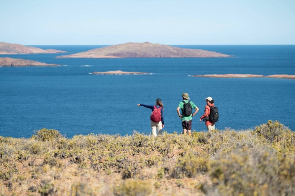
In the province of Chubut, over 400 kilometers of coastline connect Rawson to Comodoro Rivadavia through a corridor shaped by cliffs, beaches, islands, and steppe landscapes, where the Atlantic Ocean structures the scenery. This coastal stretch, known as Blue Patagonia, has established itself as an itinerary where marine conservation and nature tourism advance together. The project, driven by the involvement of local and provincial organizations as well as communities—including the Rewilding Argentina foundation—aims to promote a travel model that highlights biodiversity and the identity of Argentine coastal towns.
An Itinerary Built Around the Territory
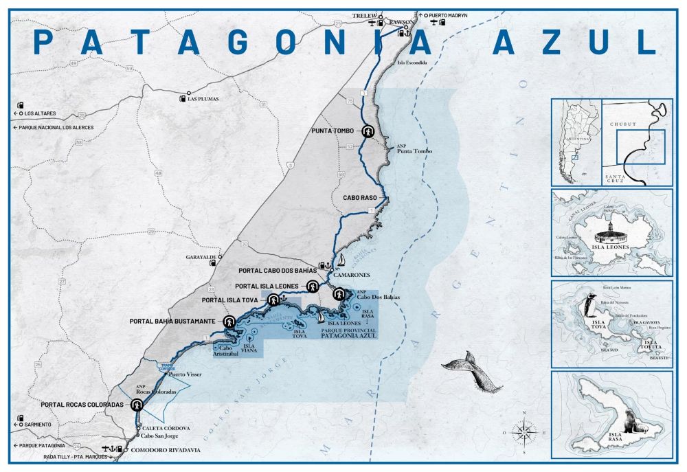
In the northern part of the corridor, the Rocas Coloradas sector concentrates several major geological sites, including Valle Lunar, Monte de Meteoritos, and a petrified forest over 60 million years old. Marked trails connect these formations to coastal viewpoints and allow the ascent of Pico Salamanca (576 meters above sea level), the highest point of the itinerary, via accessible hiking routes.
Further south, Caleta Córdova illustrates another aspect of the project: small coastal communities whose activities remain closely linked to artisanal fishing. The still-active port and the local market where fishermen sell their catch remind visitors that the corridor is not limited to protected natural areas but integrates inhabited and productive territories.
Marine Fauna and Environmental Interpretation
At Bahía Bustamante, the coastal landscape is shaped by the movement of the sea. At low tide, the bays open onto vast shallow areas. This natural dynamic makes the site one of the main ornithological observation points along the coast, reinforced by the presence of the Casa de Piedra interpretation center, which offers an educational reading of the environments crossed.
This approach continues at Isla Leones, one of the corridor’s most open sectors, characterized by a succession of islands, islets, and coves facing the Patagonian Sea. Excursions are organized here for birdwatching, Commerson’s dolphins, and, depending on the season, whales. The site also offers two free campsites, a marine camp with small cabins facing the sea, and self-guided trails for exploring the coast on foot or by bike.
For further reading: Observación de aves en América Latina: especies emblemáticas y oportunidades para los profesionales del turismo
Coastal Villages and Maritime Heritage
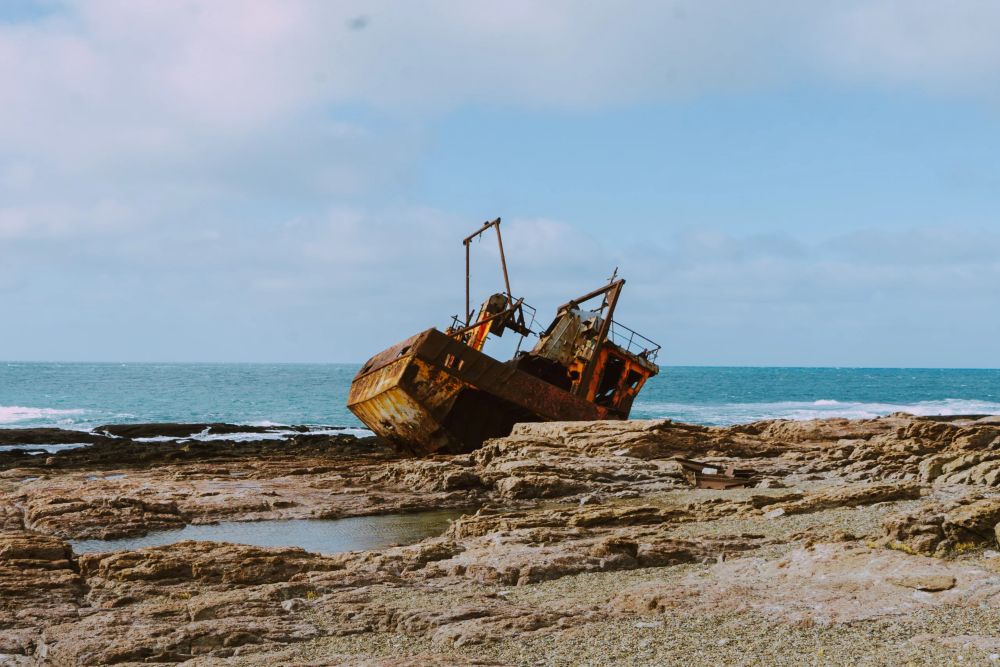
Passing through Camarones, Blue Patagonia highlights a human heritage shaped by migration history and sheep farming activities. The town’s maritime identity is expressed both in its gastronomy and in local textile crafts. Further south, Cabo Raso reflects another relationship with the territory: a former relay of the Patagonian telegraph line, the site was abandoned after the modernization of road networks before being partially rehabilitated as a remote lodge, without electricity or connectivity, in an environment dominated by marine fauna.
The itinerary ends at Punta Tombo, one of the most emblematic sites on the Argentine Atlantic coast, home to one of the largest continental colonies of Magellanic penguins in South America. Boardwalks allow visitors to observe the colony without disturbing its cycles, illustrating the balance sought between access and preservation.
Blue Patagonia offers a new way of thinking about coastal tourism development. By structuring a set of previously dispersed sites, the corridor demonstrates that it is possible to expand regional tourism offerings without succumbing to concentration or mass tourism.
This project opens up interesting perspectives: diversifying nature-based proposals, integrating lesser-known territories, and constructing travel narratives based on territorial continuity. It fits into a broader dynamic in which networking spaces, conservation, and local anchoring become key levers for more balanced tourism development in Patagonia.
Photos: Patagonia Azul