
In northeastern Brazil, the Serra da Ibiapaba is no longer just a natural border between Piauí and Ceará. With the Caminhos da Ibiapaba, a 180-kilometer route now fully operational, the region gains a concrete tool to organize tourist flows in a territory that remains relatively unstructured.
Divided into 13 stages, the route crosses several municipalities — Tianguá, Ubajara, Ibiapina, São João da Fronteira, Brasileira, and Piracuruca — connecting areas that were previously visited only sporadically. The appeal of the route lies less in a single site than in the sequence of landscapes and experiences it offers.
Connecting protected areas within a single route logic
The project is part of RedeTrilhas, an initiative launched by the Ministry of the Environment and Climate Change, the Chico Mendes Institute for Biodiversity Conservation (ICMBio), and the Ministry of Tourism, aimed at structuring long-distance routes across the country.
This network currently includes more than 20 officially recognized routes nationwide, with the goal of organizing access to natural areas within a regulated framework that ensures their conservation.
With Caminhos da Ibiapaba, a new milestone is reached: the route becomes the first to cross the Caatinga while linking three key areas — Sete Cidades National Park, Ubajara National Park, and the Serra da Ibiapaba Environmental Protection Area.
This continuity makes it possible to envision uninterrupted itineraries between protected areas, a configuration that remains rare in this part of Brazil.
Our article: The Northeast via the Route of Emotions
A route designed for long-distance travel
Accessible on foot or by bicycle, the route begins in Ubajara National Park, at around 800 meters above sea level. The first kilometers follow a plateau before reaching the Espia viewpoint, one of the highlights of the route, offering panoramic views over the landscapes of Piauí.
Within the same park, around 40 kilometers have been reorganized to concentrate movement along internal trails, connecting several points of interest, including the Ubajara cave, known for its cable car.
Further north, in Sete Cidades National Park, the route relies on a network of around twelve kilometers of existing trails. Visitors pass through distinctive rock formations such as Pedra da Tartaruga or the “Mapa do Brasil,” whose shape resembles the country’s outline.
A territory structured around the route
The project goes beyond trail marking. More than 40 points of interest line the route: homes used as informal stopovers, small family-run structures near access points to natural sites, and rest areas for hikers and cyclists.
The route also includes elements that provide a historical reading of the territory, such as colonial houses, old water reservoirs, and paths following former trade routes.
You may also like: Brazil’s north-east coast, a benchmark destination for international kitesurfing
The development of Caminhos da Ibiapaba is part of Embratur’s strategy to position nature tourism internationally. The trail is already integrated into a platform that brings together routes linked to protected areas.
Beyond the creation of a new itinerary, the project proposes a structured approach to a territory that has so far been explored in a fragmented way, paving the way for longer and more continuous routes, where movement itself becomes a central component of the travel experience.
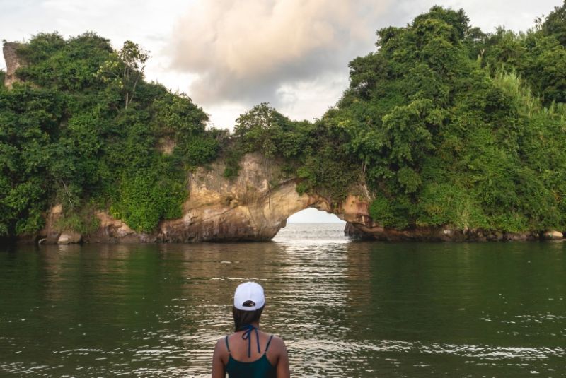
Photo: Caminhos da Ibiapaba